|
||
When I drived to the MM drawers meeting in Gemünden in September 2004, I made a little indirection along the Altmühl Valley between Eichstätt and Treuchtlingen. Here, I made the following photos, from where I derived the BahnLand landscapes which are provided at this page. |
||
| Eichstätt railway station |
|
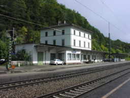
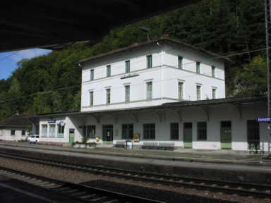
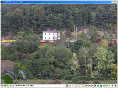
My first stop was the Eichtätt "railway station". This resides far away from any
housing estate on a mountain side as part of the main railway line between Ingolstadt
and Treuchtlingen. Especially, I was very enjoyed by the roof of the platform along
the station building, because the props are opulently ornamented.

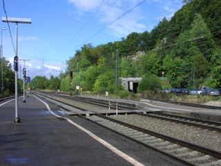
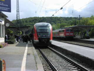
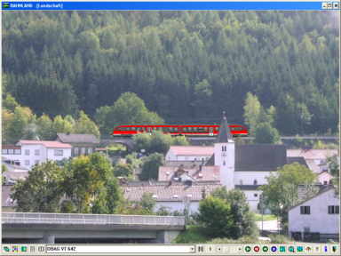
Beginning here, there is a branch line about 5 km to the city of Eichstätt. This line disappears in a tunnel immediately behind the railway station (in the picture behind the road bridge in the foreground). After the ridge is passed and the daylight is reached again, the branch line is located upside of the Altmühl Valley. Today, the connecting trains running along this line consist of a Desiro railcar of type 642. To get a picture to be usable with BahnLand, I had to change to the other side of the valley. Viewing the railway station building from there, you can clearly see how lonly it is embedded here into the landscape. |
|
 |
2004-12-25 Eichstätt railway station |
| All at-grade photos: © Hans-Martin Hebsaker 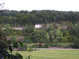 |
|
| Wasserzell |
|
| At this day, the weather was very varied within the Altmühl Valley: Bright sunshine and heavy showers changed in nearly 15-minute-periods. When the connecting train between Eichstätt railway station and Eichstätt city passed Wasserzell, it was very dark. But to get a proper landscape for BahnLand, I could wait for the next sunshine period. |
2004-12-25Upside of Wasserzell 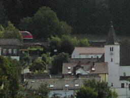  |
 |
|
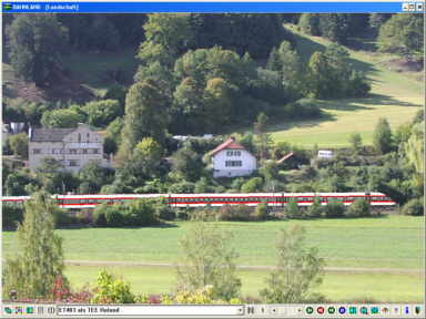
| In the west of Dollnstein |
|
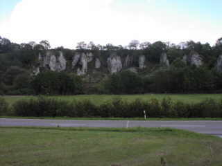
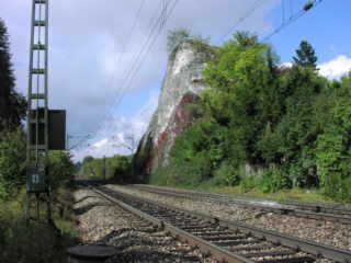 Immediately in the west of Dollnstein, there resides the rock displayed in the rightside picture besides the line with direction to Treuchtlingen. Some few kilometers from here, the "12 apostles" are greeting from the opposite valley side. But the railway line is here almost completely covered by bushes and trees. Some meters in the west of the rock of Dollnstein the photo below was created as a basis for the BahnLand scenario, which is shown here. |
|
 |
2004-12-25 Altmühl Valley near Dollnstein |
 |
|
| Solnhofen |
|
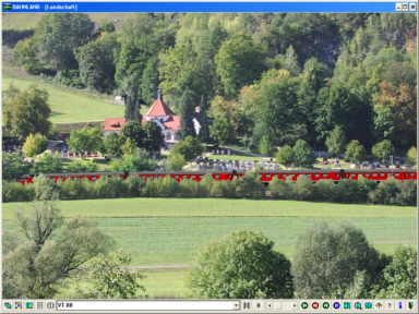 |
2004-12-25 Altmühl Valley near Solnhofen At Solnhofen, the railway line follows the Altmühl Valley along a curve about 170°. The village resides with a great part on the bank inside the valley arc. From here, I made the photos, from which the two BahnLand scenarios were derived. The picture below was composed from the two original photos, so that the immediate neighbourhood of them is better seen. |
|
2004-12-25 Altmühl Valley near Solnhofen |
|
|
|
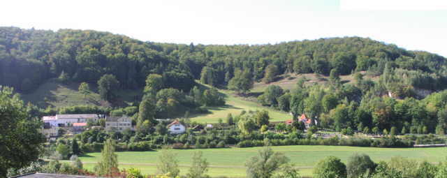
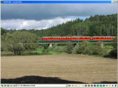
| Between Pappenheim and Treuchtingen |
|
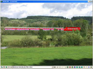
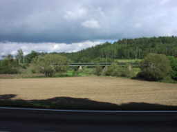
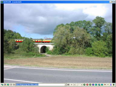
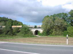
| The last both pictures of this series were created between Pappenheim and Treuchtlingen. Also between these two scenarios, there is a distance of only few meters. | |
 |
2004-12-25 Between Pappenheim and Treuchtlingen |
 |
|
 |
2004-12-25 Between Pappenheim and Treuchtlingen |
 |
|